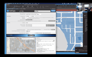
At a recent Claris Exchange meetup, a successful business owner demonstrated the features of his custom app built on the Claris FileMaker low-code/pro-code platform. He also discussed all the business … Read more about Building a FileMaker Low Code Solution – Claris Exchange
An open standard format designed for representing simple geographical features, along with their non-spatial attributes. … Read more about GeoJSON
A popular geospatial vector data format for geographic information system software. … Read more about ShapeFiles
A file format used to display geographic data in an Earth browser such as Google Earth. … Read more about KML/KMZ
A public domain metadata standard which allows georeferencing information to be embedded within a TIFF file. … Read more about GeoTiff
Geography Markup Language (GML) is the XML grammar defined by the Open Geospatial Consortium (OGC) to express geographical features. … Read more about GML
GPS Exchange Format is an XML schema designed as a common GPS data format for software applications. … Read more about GPX
A collection of files that can store, query, and manage both spatial and nonspatial data. … Read more about File Geodatabase (GDB)


