
![]() LuminFire GIS (Geographic Information Systems) solutions help businesses derive value through location intelligence with data through maps, custom applications, and spatial analyses.
LuminFire GIS (Geographic Information Systems) solutions help businesses derive value through location intelligence with data through maps, custom applications, and spatial analyses.
Spatial data is information that can be mapped. It includes locations, shapes, and relationships between geographic features. Spatial data powers GIS. It has many sources and takes on many formats. You most likely already have spatial data, and we can analyze and create value from that data using tools that you already have! We specialize in WordPress mapping integration and FileMaker mapping integration, and in creating responsive web applications that analyze, use and display spatial data.
Mailing lists, website analytics, free US Census data, or even digital photographs are often all you need to begin building your spatial data library. We help businesses identify, create, and acquire the spatial necessary to build powerful GIS solutions.
Data on its own isn’t valuable. It is just a collection of facts. By organizing, mapping, and analyzing data, we create solutions that help businesses make informed decisions.
The information you get from spatial data can be beneficial in many ways. It could inform you about your customers, facilitate effective communication, save you money, expose new business opportunities, improve decision making, or help improve communications with your customers.
We’ve all been frustrated by un-intuitive applications that do not work as expected. Traditional GIS software tends fall in this category–it is complex and requires a steep learning curve for most users.
We seek to delight users with tools that are task oriented, easy to use, and reliable. It is our belief that if the end product requires reading a manual, we haven’t done our job. Your business is unique and your software should be, too. This is why finding general, off-shelf products to meet nuanced business needs is so difficult. Custom applications made for your business are inherently easier to use and understand. Everything from data collection to marketing to operations can be streamlined with workflow automation and custom tools that save time and money.
GIS & FileMaker/WordPress – Pushing the Envelope
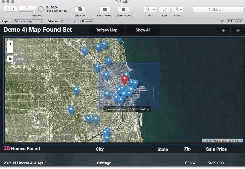
We make FileMaker data come to life using interactive maps, spatial queries, and visualizations. You can have maps that solve business problems by integrating open source GIS technologies in your FileMaker solutions and websites. This video is a screencast of the original presentation given by Michael Moore and Andy Walz — both expert GIS, web, and FileMaker engineers at LuminFire.
Additional presentations are available from #MNGISLIS.
If you’re curious, but not yet sure how GIS can help your industry, check out this list of 1000 Applications of GIS for examples of GIS in action. The best way to learn how GIS can benefit your business is to schedule a consultation with us. Let’s discuss what we can do for you!